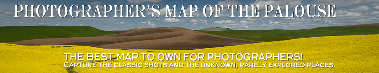
Dear Fellow Photographers,
Back in 2010 I spend many months scouting the Palouse in order to create a map with photographic locations on it for photographers who wished to visit the region.
I would start early in the day and return many times after sunset. Along the way I would highlight the roads I travelled and make various notations of worthy spots to photography - see my overused maps below. I decided to highlight red barns, barns, windmills, abandonded houses, view points and granaries.

After the summer was over I transferred my locations to a clean map with symbols that would easily identify all the various highlighted spots.
I then created this website and have sold hundreds of my maps to many photographers who are extremely grateful for my hard-work.
Sadly in the spring of 2014 the Chamber of Pullman announced that they had a
photographers map of the Palouse. When I heard the news I was curious to what their map looked like so I clicked the link. To my utter amazement, which soon became anger, I discovered they copied my map item for item, not missing one of them and not adding any of their own without crediting me anywhere - see below.
My map on the left, Chamber of Pullman on the right.
Viewpoints highlighted in pink. Exactly the same.
Red barns highlight in blue. Exactly the same.


Instantly I wrote to the Chamber explaining my frustration. Marie Dymkoski, Exectutive Director, denied the obvious, "This is our map," she wrote, "using many different resources. You hold no ownership..."
I then contacted a couple attorneys who basically explained that I would spend as much money to fight this issue as I would maybe get in return. So I decided not to involve myself in so much negativity.
I continued to proudly sell my map, it is my creation, until today because I have now received two angry emails from photographers who believe it is I who copied the Chamber of Pullman.
When I received those emails I became full of anger all over again. The last thing I want is to associate the place I love so much with anger and frustration. The Palouse is where my heart sings, where people take pride in their word meaning something and where you can find peaceful solitude all day long.
It is extremely frustrating and disappointing that the Chamber of Pullman stole the map from me. I will continue to work to at least get my name mentioned on the map for the work I did.
One of the reasons I chose this project in the first place is that my goal is to motivate, inspire and share what is possible. If you would still like to purchase my map, I truly appreciate it, however if you instead chose to use the Chambers I totally understand and sincerely want you to fully enjoy discovering the place I love so much.
One more thing: I am a photographic leader in the Palouse for both private and group tours and would appreciate it if you considered having me as your tour guide.
Palouse Photography Tours with Teri Lou
The Palouse tours for 2016 are now posted. Take a look!
The Palouse tours for 2016 are now posted. Take a look!
Have a wonderful day,
Teri Lou
